Existing Visitor MapsThere are some excellent maps on display along the canal that are uncluttered yet informative. They are not quite to scale in that they exaggerate the width of the canal, but this makes them easier on the eye. |
|
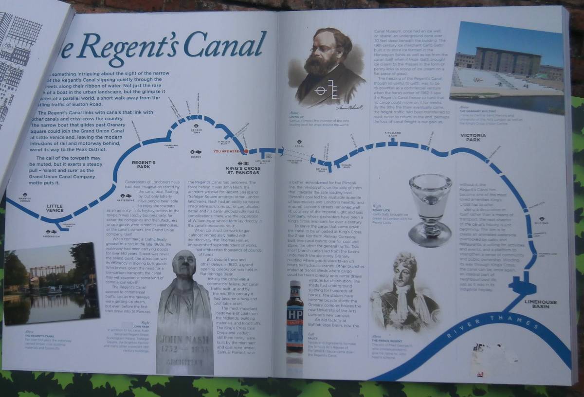
The most recent example is at Kings Cross at the bottom of the Granary Square steps.
This shows the whole canal including all the locks and most of the bridges.
There are no credits written on this map; it was probably funded by the development team at Kings Cross Central. |
|
|
There are also some borough-specific maps installed at street level at various access points.
Judging by the old style telephone codes they were probably produced in the late 1980s.
Many of them have suffered from graffiti but the information they convey is priceless.
These maps were produced with money from the Government's London City Action Team. They display the logos of British Waterways, the Borough councils and Action for Cities. |
Camden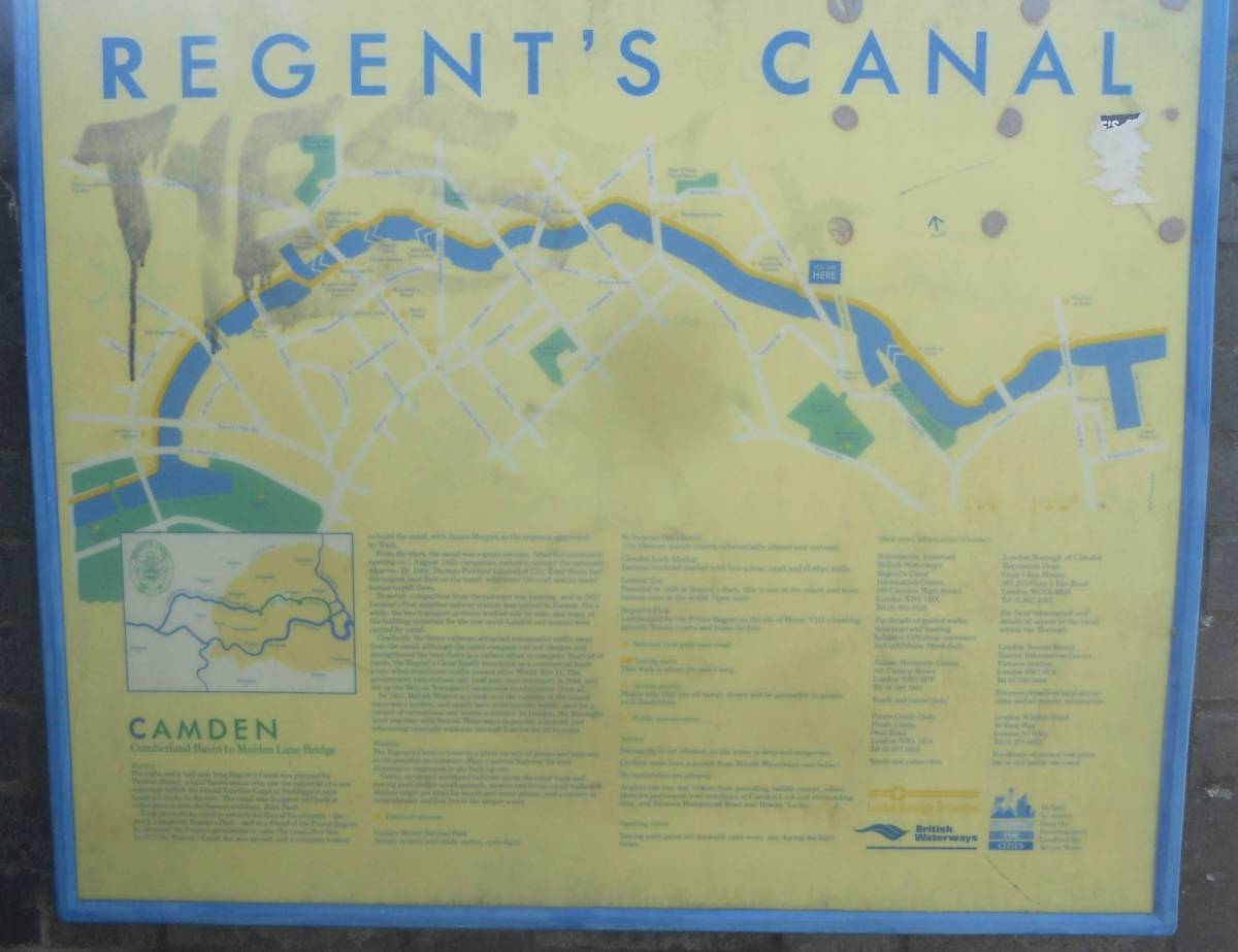
|
Westminster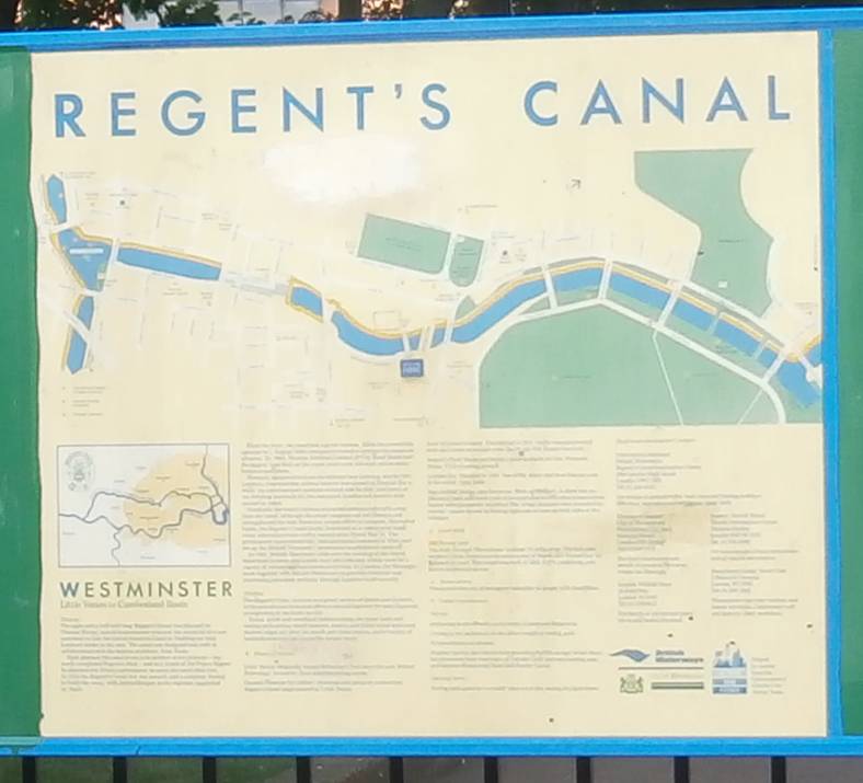
|
Islington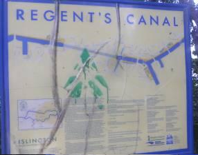
|
Hackney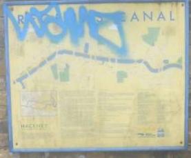
|
Tower Hamlets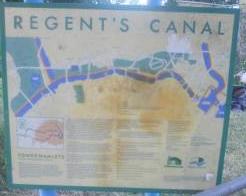
|
Return to main page |